Takeaways
- Weather patterns are changing, but not evenly: While polar regions are getting much warmer, equatorial areas are not seeing as much change.
- The U.S. has a severe infrastructure problem: The country’s infrastructure was not designed with climate change or severe weather events in mind, and what was a 1 in 100-year storm then is more like a 1 in 10-year storm now.
- Decembers are getting warmer: With data from every December since 1895, there is an upward trend in temperature for December overall. Recognizing this trend allows forecasters to predict likely temperature ranges.
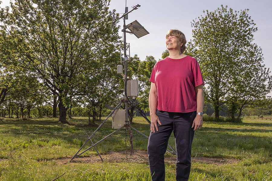
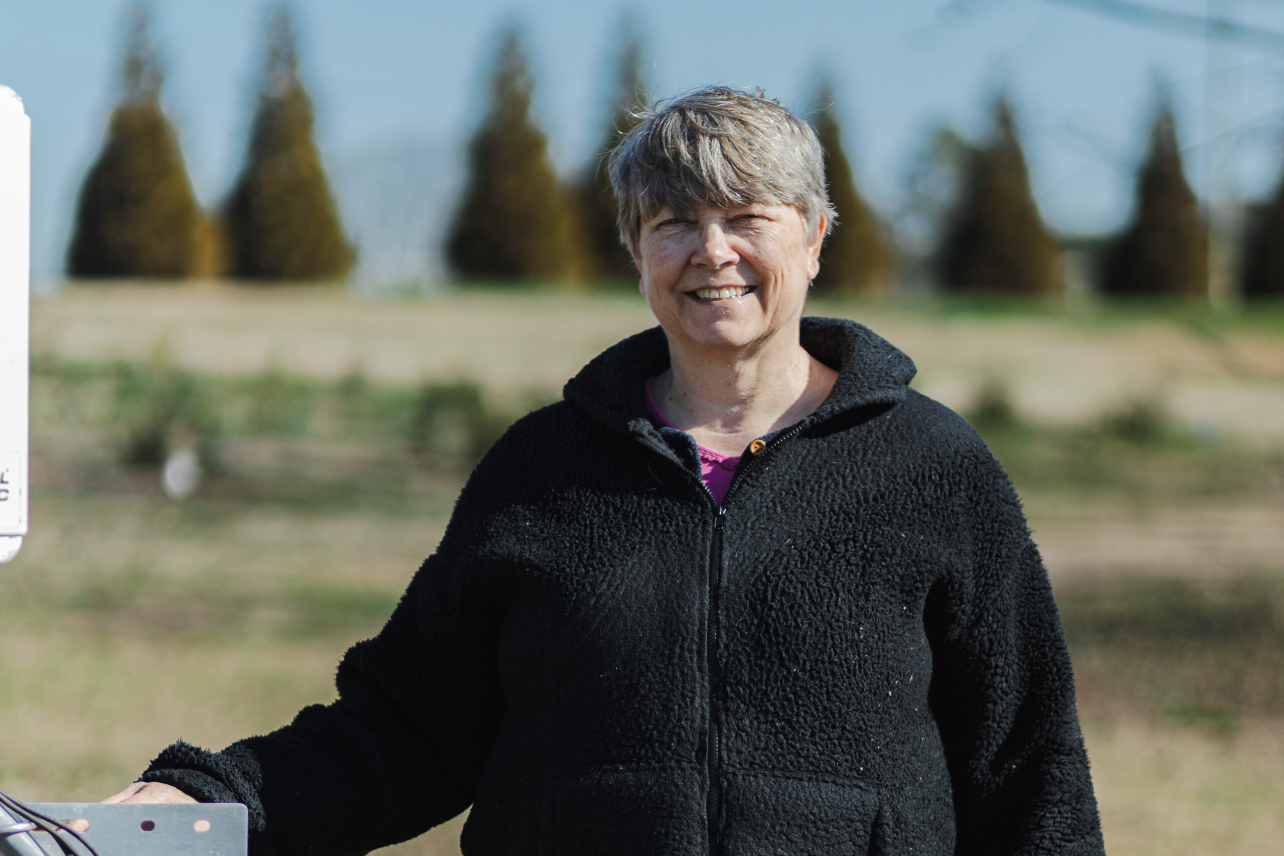
From peach orchards to porch conversations, weather is always part of the story in the South — and University of Georgia climatologist Pam Knox brings clarity, science and common sense to every weather event.
Whether you are wondering why the seasons feel out of sync, how climate change plays out in your backyard, or what to expect before the next storm, Knox offers answers grounded in decades of research and a deep connection to the land. It’s your forecast with context.
How are weather patterns changing?
When you change the heat in the world as a whole, it is not changing evenly. It is getting much hotter in the polar regions relative to their average temperature, but the equator is not changing that much. In the polar regions, you’re getting rid of a lot of stuff that’s highly reflective, like snow and ice, so there it is warming up much faster.
The temperature difference between the equator and poles is changing, and as that temperature difference gets smaller, it allows the circulation of the atmosphere between them to get more wavy. You get more low-pressure centers going through, more high-pressure centers going through, and every time you get one through, the wind pattern changes and the temperature changes, so we’re seeing more variation in the weather.
As we change the temperature pattern on the globe, we are starting to see changes in how the weather patterns in the atmosphere influence the local climate. That does not mean we’ve never had that before. We have had cold outbreaks before, but certainly not a lot of places set records for snowfall. Part of that is because we have more water vapor too, so you are going to get these more variable patterns. It is terrible for farmers. Farmers like to have consistency.
Are changes in weather patterns making it harder to predict what the weather is going to do here?
It is a moving target. Computers are getting better, so prediction as a whole is a lot better than it used to be, but it still doesn’t handle things like local conditions very well. Georgia is affected by all these global weather patterns, but it also is affected by its own local terrain. The oceans that are close to us cause sea breezes along the coastal areas, and the mountains are cooler and more likely to get snow. They also direct cold air down the east side of the mountains.
Here in Athens, Georgia, we get something we call “the wedge,” which is a really shallow layer of cold, dense air that comes down the east side of the mountains. It can’t go west because the mountains are in the way, so it comes down and hits the northeast part of the state.
The official name of the phenomenon is “cold air damming,” but we usually call it the wedge. It comes in and it brings this gloomy weather that is cloudy and more likely to cause problems with ice storms because of that cold air, depending on how cold it is. We do not know how that’s going to change. It is going to continue because the mountains are going to still be there and the coasts are still going to be there, but the larger-scale weather patterns are going to change somewhat, and we don’t know how all that interaction is going to affect us here in Georgia.
We expect Georgia to get warmer. It is getting warmer already, and nighttime is getting warmer than daytime. That’s because of humidity, most likely. Urbanization probably has something to do with it, although a lot of our weather stations are in the country.
Right now, there are also cuts to observing systems like radiosondes, which sample the atmosphere vertically, due to staffing cuts in the National Weather Service. The loss of data makes the computer models less accurate and that makes it harder to make good weather forecasts.
This year’s Atlantic hurricane season has been slow for the Southeast. What influences the path that hurricanes take?
In different times of the year, tropical storms start in different places. In the spring and fall, they usually start in the Gulf, so it depends on what local conditions there are in the main part of the season.
Because of internal variability with each storm, it is very hard to predict their exact path, especially on any kind of usable time scale.
That is why hurricane forecasts usually give a cone of where they think it is going to go based on all the different models that they run, but they are not going to be able to tell you exactly where it’s going to hit.

Are increasingly severe weather events endangering infrastructure?
Absolutely. There is an infrastructure problem now. In the old days, statistics did not take into account climate change. They are just now, for the first time, starting to bring that in.
We know that the number of extreme rain events are going up, because there is more water vapor and it is warmer. You get more storms because you have all the ingredients there. Usually, statistics assumes that you’ve got a stationary data series, you don’t have a trend. If you have a trend, then the statistics kind of get all out of whack.
That is what we are having to deal with now. A lot of the infrastructure that was designed with these old statistics. What was a 1 in 100-year storm then — which means it has 1% chance of occurring in any given year — is now something like a 1 in 10. So, it has a 10% chance of happening every year. Now we get a lot more street flooding. We get culverts washed out.
The potential for dam breaking is real, especially because some of the dams are not in good shape. Infrastructure is a huge issue in the United States. Even if we weren’t on the upward trend, they might have more problems in the past just because the infrastructure is getting old. It is definitely a huge concern.
Has Georgia seen significant trends in precipitation or temperature data over the last decade?
Related Content
We won’t talk about trends on a decade scale, because that is too short. There is too much variability.
If we look at a time series, let’s say every December — and they have information on every December since 1895 to the present — you will see there is a lot of variability from one year to the next, but there’s also an upward trend in temperature for December overall.
Farmers, depending on what they’re growing, are more interested in that year-to-year variability. But the upward trend is important because it tells you, over time, what the temperature range is likely to be.
For more weather insights, visit Knox’s weather blog, Climate and Agriculture in the Southeast or hear more from Knox on hurricane preparedness in her interview on the CAES podcast Cultivating Curiosity.