
Background

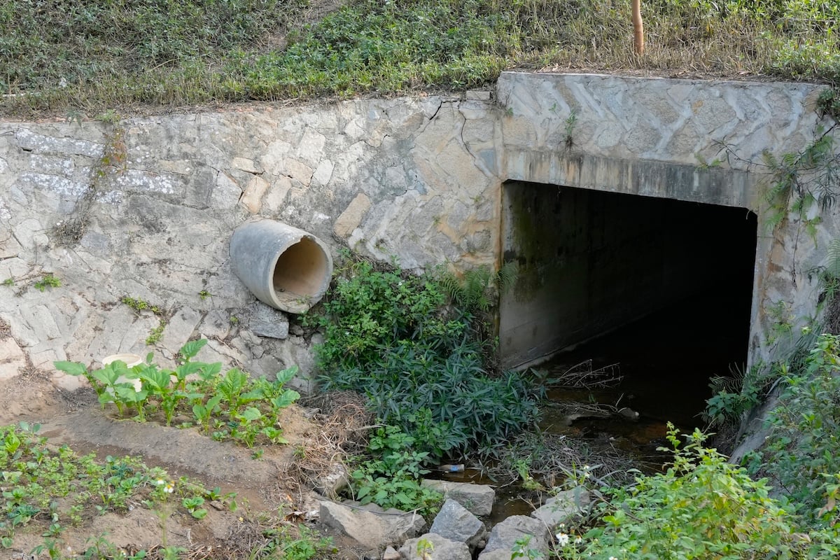
Drinking water sources in Georgia (surface and ground water) can be contaminated by landfills and dumps, leaky septic tanks, urban runoff, industry and agricultural operations. Drought threatens Georgia’s water supply by reducing flows and increasing concentration of pollutants. In addition, Georgia’s unprecedented growth has made protecting drinking water sources for the present and future an extremely important topic.
Where does Georgia’s drinking water come from?
There are 2484 active public water systems in Georgia. Of these, 1778 are community water systems, 209 are non-transient, non-community (schools, etc.), and 497 are transient, non-community (rest-stops, etc.). These water systems are supplied from both surface water (rivers, streams, and reservoirs) and groundwater. Of the 1778 community water systems, only 224 (13%) are supplied by surface water, while 1554 (87%) are supplied by ground water. Interestingly, 13% of Georgia’s water systems are supplied by surface water and the remaining 87% are served by groundwater sources. However, 80% of Georgia’s citizens are supplied by surface water while only 20% are served by groundwater. In Georgia, 13% of residents get there drinking water from sources other than regulated public water systems.
From: The Report to the Governor on the Efficacy of Georgia’s Capacity Development Program September 2011.
What is being done to protect drinking water on the federal level?
In 1996, Congress passed amendments to the Federal Safe Drinking Water Act. These amendments were designed to address problems small public water systems were having providing safe and reliable drinking water to their customers. The amendments place responsibility on the shoulders of the Georgia Environmental Protection Division (GAEPD) of the Georgia Department of Natural Resources (GA DNR) to carry out the necessary steps to provide drinking water.
What is being done to protect drinking water on the state level?
The state of Georgia, in accordance with the Safe Drinking Water Act’s 1996 amendments, has implemented two programs designed to identify potential sources of pollution and protect drinking water sources: the Source Water Assessment Program (SWAP) and the Wellhead Protection Program (WHPP). These programs will be discussed in more detail on the following pages.
Both the state and federal programs apply only to public or community water systems. If you get your drinking water from a private well, only you are responsible from protecting your drinking water.
Source Water Assessment Program (SWAP)
What is a source water assessment?
A source water assessment is a study that identifies, and assesses potential sources of drinking water contamination within an entire contributing watershed for surface or ground water). A SWAP has five milestones:
- Determine and Outline Assessment Areas,
- Conduct Water Quality Analysis of Current Conditions,
- Inventory Potential Pollution and Contaminant Sources,
- Determine Susceptibility for Water Sources, and
- Develop a Public Participation Plan.
Determining susceptibility of the drinking water intake’s contamination by the identified potential pollution sources is the main objective of a SWAP. The data from other milestones provide the background necessary to determine susceptibility. City officials will be able to use the susceptibility analysis to target, which potential pollution sources pose an immediate threat to a drinking water intake and develop a plan for protecting it.
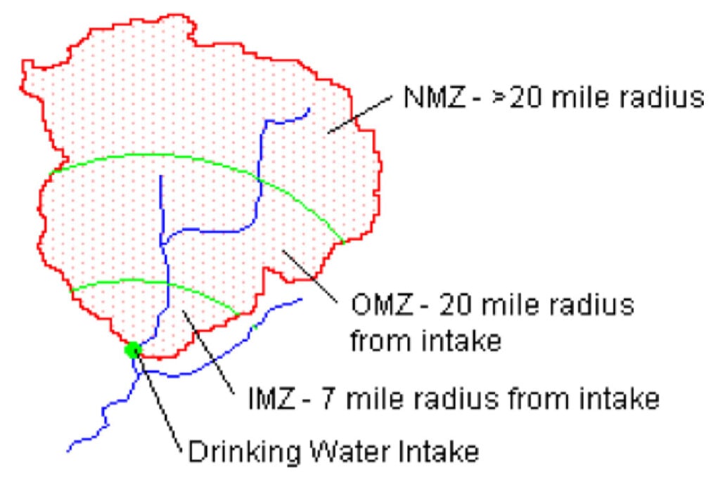
Surface water SWAP
Because many surface water source watersheds are very large, SWAPs utilize a management zone approach for data collection. The Inner Management Zone (IMZ) extends in a 7-mile radius from a drinking water intake. All potential pollution sources (airports, gas stations, agricultural operations, roads crossing streams, etc.) in the IMZ are identified and studied to the maximum extent possible. The Outer Management Zone (OMZ) ranges from a 7 to 20-mile radius from the intake. Less rigorous identification and study is required for potential sources of pollution in the OMZ. The Non-Management Zone (NMZ) extends the remainder of the source watershed. Very little data on potential pollution sources is required for the NMZ.
Input from local stakeholders is very important in identifying potential sources of pollution in a source watershed.
Susceptibility analysis
The susceptibility analysis examines every identified potential pollution source in the IMZ, OMZ, and NMZ for release potential (the potential for a contaminant to reach surface water and eventually a drinking water intake) and risk potential (in the event that a contaminant does reach the drinking water intake, how great is the risk to the drinking water supply). Each potential pollution source is ranked high, medium, or low release or risk potential based on several characteristics of the source. The characteristics include: distance from surface water, distance from drinking water intake, volume of release, duration of release, ease of transport (topography), and toxicity of release. Potential pollution sources with high risk and release potential should be addressed first while those with low risk and release potential are last to be addressed. The overall susceptibility of a drinking water intake is based on the percentage of potential pollution sources in the high, medium, and low rankings. The susceptibility analysis is an important planning tool for formulating local surface water Source Water Protection Plans.
Ground Water SWAP and the Wellhead Protection Program
A ground water SWAP is similar to the wellhead protection program (discussed below), in that it determines susceptibility of wells and springs to potential pollutant sources. This is done by designating management zones under the premise that risk of contamination by a release of potential pollutants is typically greatest in the immediate vicinity of the well and decreases with distance from the well. These management zones, which are similar to a SWAPs management zones, are more difficult to define in that the extent of the zones differ from well to well depending on surrounding land use and geology, as well at the type of aquifer supplying the well.
The control zone (CZ) ranges from a 15- to a 25-foot radius from a well. A well is considered to have high susceptibility to potential pollution sources within this area. The inner management zone (IMZ) ranges from a 100-foot to a 500-foot radius from a well. Depending on the aquifer type, a well is considered to have medium to high susceptibility to pollutants within the IMZ area. The outer management zone (OMZ) is site specific and is defined by geologic mapping, or through various calculations. A well is considered to have low to medium susceptibility to pollutants within the OMZ, again depending on the type of aquifer.
Unlike a surface water SWAP, information must be gathered on all potential pollution sources within all three defined management zones. The list of potential pollution sources that must be identified are similar to those in a surface water SWAP and include: infiltration zones, agricultural operations, hazardous materials, fuel storage, domestic septic systems, wastewater treatment facilities, landfills, etc.
Wellhead protection
The Wellhead Protection Program studies ground water and is designed to assess and identify potential pollution sources of underground drinking water supplies (wells and springs) for community groundwater sources. Wellhead protection studies have five parts: 1) identification and location of a control zone (CZ) for each well or spring, 2) identification and location of required management zones, 3) inventory of potential pollution sources in wellhead protection areas, 4) a management plan for potential pollution sources identified, and 5) a contingency plan describing how alternate sources will be provided in the event a well becomes inoperable. This information is used by the Georgia Environmental Protection Division to develop a wellhead protection plan, which encourages local governments to enact ordinances designed to protect groundwater sources of drinking water.
State rules and laws for wellhead protection
The Georgia EPD also enforces rules and acts dealing with well protection.
The Georgia Water Well Standards Act requires well drillers to be licensed and bonded. It also requires well drillers to adhere to construction standards outlined in the “Rules for Safe Drinking Water.”
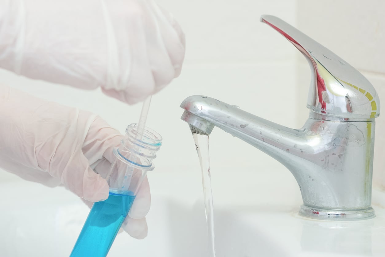
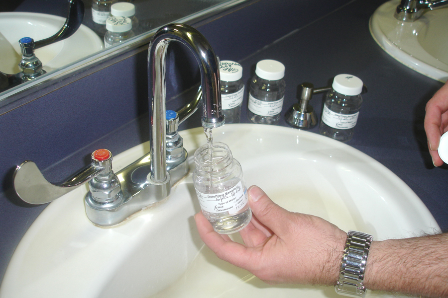
Protecting Home Drinking Water Systems
It is recommended that household wells are checked for water quality every year to ensure the safety of the water for human consumption. Testing household wells is very simple. Local county Extension agents are available to teach water quality sampling techniques and can help submit the sample to the University of Georgia’s Agricultural Environmental Services Laboratory for analysis. Your local health department’s environmental division can also provide information on water quality sampling and testing. Water from city or county maintained systems is treated and tested before it is conveyed to the public. Should a concern arise, contact your local water business office for assistance.
UGA Extension also offers a series of publications that offer more information on household water quality (see next page for website).
Contacts and More Information
Your County Extension Agent
1-800-ASK-UGA1 (directs you to the UGA Extension office in the county where your phone is registered)
University of Georgia Extension Household Water Quality Publication Series
https://extension.uga.edu/publications/series/detail/29/household-water-quality.html
University of Georgia Environmental Services Laboratory
National Drinking Water Clearinghouse
https://www.nesc.wvu.edu/about-actat/national-drinking-water-clearinghouse
EPA – Drinking Water Protection
https://www.epa.gov/ground-water-and-drinking-water
Georgia Environmental Protection Division – Water Protection Branch
https://epd.georgia.gov/about-us/watershed-protection-branch
Georgia Source Water Assessment and Wellhead Protection Program Guidelines
https://epd.georgia.gov/sites/epd.georgia.gov/files/related_files/site_page/swapfinal.pdf