
What is a watershed?
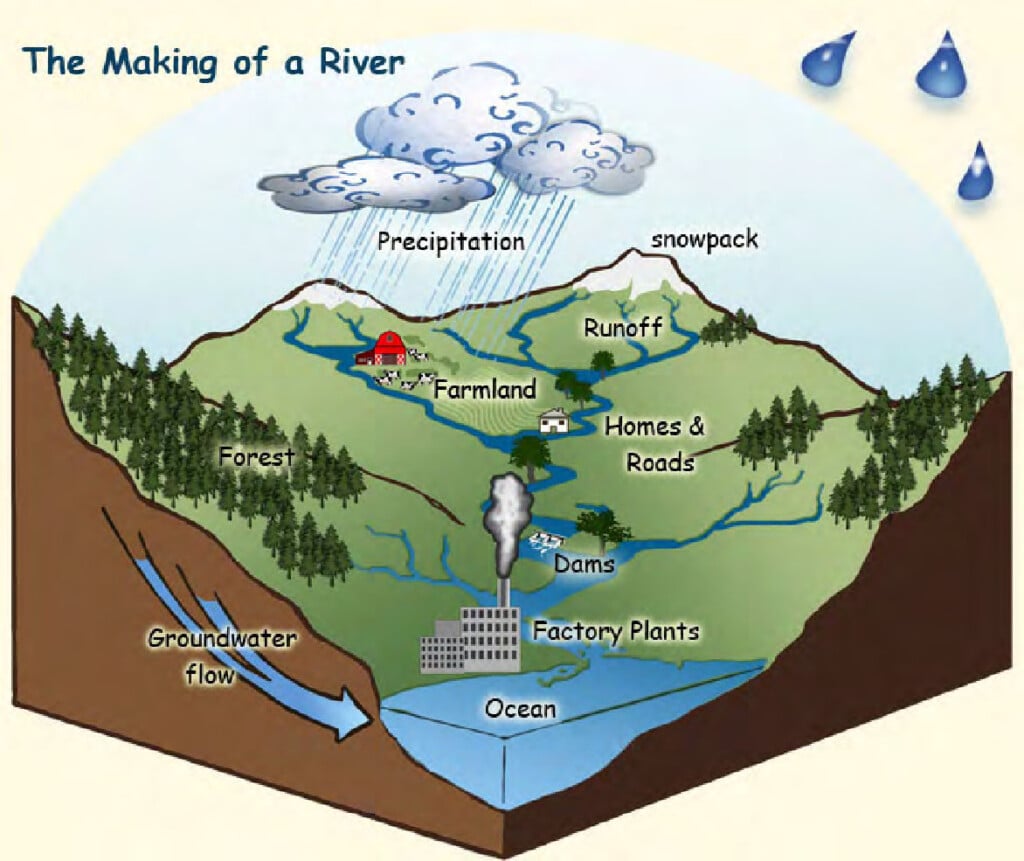
A watershed is a region in which all the rainfall coming from the land drains to a particular body of water or common point. If you look up hill from any given point, the watershed would encompass all the land above that point. A possible way to think of a watershed is to envision a bathtub. All water inside the tub will flow to the drain.
What is a watershed assessment?
Watershed assessment is the measurement and use of chemical, physical, and biological properties to determine the current health of streams. It also can include the use of predictive modeling of watershed conditions and suggests management practices that will maintain and improve the health of a watershed.
Why might my community need a watershed assessment?
Watershed assessments are a part of the National Pollutant Discharge Elimination System (NPDES) permitting process that wastewater treatment plants must comply with in order to operate. In short, they are required (by the State of Georgia) if a community wants to obtain a new NPDES permit or, in some cases, renew an existing permit for a wastewater treatment plant.
Besides being part of the NPDES permitting process, watershed assessments are important to communities because they identify non-point sources of pollution, predict impacts of growth and development on streams and rivers, and recommend management practices that will help manage watershed health in the face of development.
Components of a Watershed Assessment
Characterization
The first task in a watershed assessment is to characterize the watershed. This involves collecting physical, biological and chemical information about the watershed to establish baseline conditions for the assessment.
Physical Characterization (Watershed delineation)
The first step in assessing a watershed is to determine or delineate the watershed of interest. Delineation is the process of drawing a watershed boundary. This can be done manually with a topographic map or digitally. Watershed delineation is an important step, because when land use within the watershed is determined, sources of potential non-point source pollution can be more easily identified. After the watershed has been delineated, sites for biological (bioassessments) and chemical (water quality) assessments can be determined based on activities within the watershed.
Biological characterization (Bioassessments)
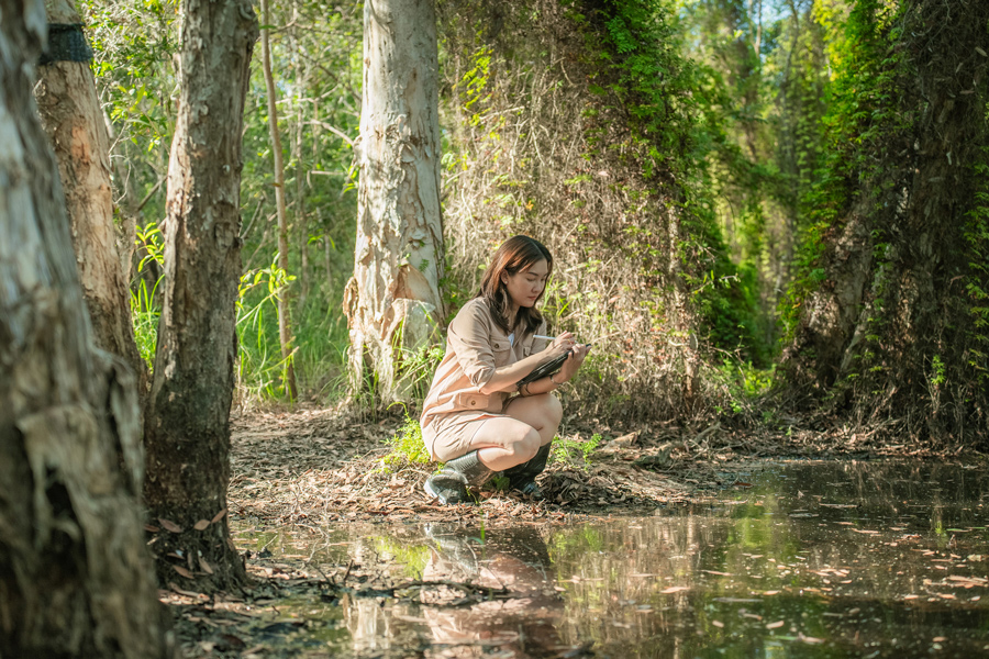
Bioassessments have three main parts: habitat assessment, benthic macroinvertebrate (aquatic insect) assessment, and fish assessment. The habitat assessment involves visual inspection of the stream itself, the banks, and the surrounding area. The aquatic insect assessment involves collecting insects from different habitats in the stream (banks, sand deposits, leaf packs, woody debris) and identifying them. The fish assessment is similar to the aquatic insect assessment. Aquatic insects and fish can survive in waters with different levels of pollution. Presence of organisms sensitive to pollution generally indicates that a stream is healthy. A lack of pollution sensitive organisms may indicate that a stream is impaired.
Chemical characterization (Water quality)
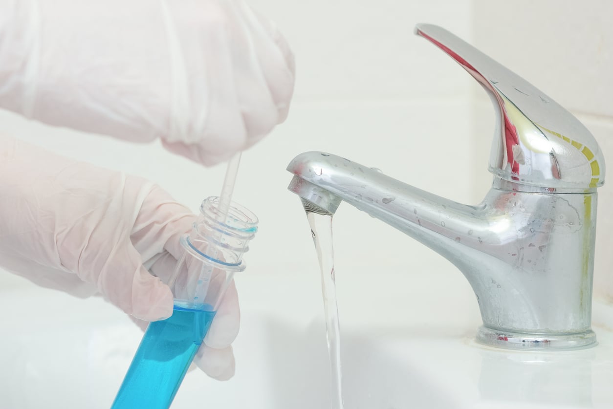
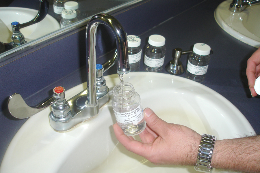
Water quality information is collected several different ways. The first is obtaining existing information, usually from wastewater treatment plants or other environmental studies in the area. The second is collecting in-stream information with a portable water quality meter. The meter is capable of determining different chemical parameters of the water. These parameters are dissolved oxygen, clarity, pH, and temperature. The third method involves collecting samples and taking them to a laboratory to be analyzed. The laboratory conducts tests including those that help determine if the water is contaminated by bacteria, what nutrients are in the water, and how much sediment is suspended in the water. The information gathered through water quality testing is important because most of Georgia’s water laws are based on water quality standards.
The characterization process also includes collecting information on local population, weather and climate, agricultural operations, projected growth and development, and local environmental interest and expertise.
Modeling
Watershed computer models predict the effects of future developments on streams. They can also be used to run development scenarios with the corresponding management options. While modeling is not required for a watershed assessment, it can be used to develop management practices to protect the health of streams.
Models used in watershed assessments are computer programs that receive information about a particular watershed and process it with a number of equations. The output of watershed models are predictions of how streams in the watershed will respond to changes in land use, usually resulting form increased development. Being aware of potential increase of pollution in streams can help city and county officials plan for the future. Some models are also capable of testing management scenarios. This feature is a particularly helpful management tool as it helps planners determine the most effective and efficient management practices for particular problem areas. Fine-tuning management practices save cities and counties money by reducing or possibly eliminating trial and error.
Watershed Management
Watershed management is the final component of a watershed assessment. It involves the recommendation of management activities that must be incorporated into a watershed protection/management plan. Cities and counties must implement these plans in order to be in compliance with their wastewater treatment plant NPDES permit.
While modeling can be helpful for determining effective management alternatives, it is not required. The choice of management alternatives can also be made by making visual assessments of the watershed area to determine streams currently experiencing water quality problems due to land use practices. Management recommendations for future water quality problems can be made based on recommendations for current problems.
Ongoing monitoring
Ongoing monitoring is an important part of watershed management. Continuing to monitor streams helps determine whether or not the management practices recommended and implemented are returning the desired results. It also helps local officials identify and correct new problems in a timely manner. Ongoing monitoring includes seasonal water quality sampling, as well as sampling during significant rain events. Bioassessments are also part of ongoing monitoring. It is recommended that they are conducted every few years, since they are more involved studies.
Public education and involvement
Involving the public in watershed management activities is crucial to developing and implementing an effective watershed management plan. Often, citizens have ideas or have noticed problems in the area that city and county officials and watershed researchers have missed. Since all of us impact water quality, educating citizens on the importance of environmental stewardship will help keep watershed management issues alive in communities.
Contacts and More Information
Your local County Extension Agent can help answer questions concerning water quality and watersheds. To contact them you can call 1-800-ASK-UGA1 (this will direct your call to the county where your phone is registered) or find them on the UGA website at https://extension.uga.edu.
There are many private consulting firms that conduct watershed assessments. The Georgia EPD (404-675-6233) can provide contact information for contractors in the state.
Other Resources
- Georgia Environmental Protection Division: Planning for Domestic Wastewater Systems: https://epd.georgia.gov/document/publication/planning-domestic-wastewater-systemspdf/download
- U.S. Environmental Protection Agency Office of Wetlands, Oceans and Watersheds: https://www.epa.gov/aboutepa/about-office-water#wetlands
- U.S. Environmental Protection Agency: Surf Your Watershed: https://www.epa.gov/waterdata/surf-your-watershed